
Highlands and Islands
by
Pat Fallon
Prologue
Early this year Willie suggested a tour of the Scottish Highlands and Greg, David and myself were keen to go along for the trip. On 10th January we convened in the Royal Standard to formulate a plan, which in reality meant that we drank some beer, chatted about this and that and finally agreed on suitable dates for the tour and decided to leave all the real planning to Willie.
A draft route was duly drawn up and agreed and then adjusted and firmed up to fit in with the accommodation that Willie was able to book for us. Finally he booked berths on the sleeper to and from Inverness - the only slight drawback was that although the four of us and our bikes could travel together on the outward journey he could only book three cycle spaces for the return, but Willie was happy to have an extra day in Inverness and booked himself to return a day later. The reason only three cycle spaces were available for the return journey will be revealed later.
Now all we had to do was wait with anticipation for the departure date to come around.


Our Route (We Did Ride the Missing Section!).
Day 1 - Thurs 9 May - Sleeper to Inverness
We had agreed to meet at the Bree Louise near Euston before joining the sleeper for Inverness. Greg and myself met at Norbury station and caught a train to St Pancras, Willie pedaled from home and David caught a train to Victoria and pedaled from there to the pub. It was a damp evening and a bit chilly but despite this we sat outside the pub and enjoyed a couple of pints - Whitstable and Nethergate Essex Beast.
On joining the train Willie was able to book us a cooked breakfast for the morning from our steward. After stowing our bikes in the guards van and dumping our bags in our berths we settled in the buffet lounge for a few Deuchers and the others rounded off the evening with a dram.
I think we all had a good sleep and when I woke up the train was at Dunkeld Station. We collected our tea and shortbread from the steward and headed for the buffet lounge to settle back and enjoy the scenery on the remainder of the route to Inverness.

Early Morning View from Train.
The cooked breakfasts on the train helped set us up for the coming day's cycling.
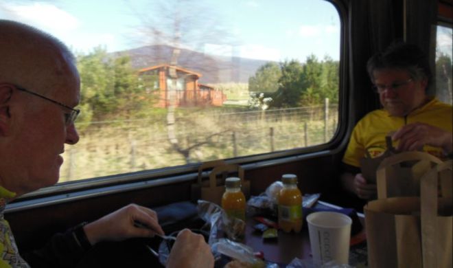
Breakfast.


Arrival in Sunny Inverness.
Day 2 - Fri 10 May - Inverness to Torridon - 71 miles


The destination for our first night was The Torridon Inn, and as David later pointed out this entailed a sea to sea ride across the country from the Moray Firth to Loch Torridon.

Kessock Bridge.
Leaving the station in Inverness we had a tour of the industrial area near the harbour as we tried to find our way onto the Kessock Bridge. The bridge was under repair with the northbound traffic lane and footpath/cycle lane both closed so we found ourselves inadvertently joining the temporary single northbound carriageway and holding up the traffic on the climb over the bridge. We were glad to get off the main road and drop down to the village of North Kessock and onto the quiet road alongside the Beauly Firth.

North Kessock.

Beauly Firth.
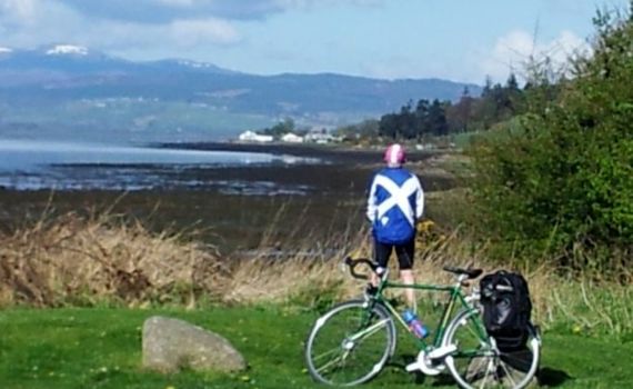
Let's get the Obligatory P*ssin' Pat Pic Out of the Way Early On...

The Steeds all Raring to Go in the Sunshine.

...and the Stokers - Also Raring to Go?

Poseur!

Small Person Standing on Saddle? Almost!

Reflections on the Beauly Firth.

The weather was fine, the road was quiet and we enjoyed grand panoramas as we headed on to Muir of Ord. Here we were advised by a lady at the butchers shop that there was no cafe in the village, but that we should carry on to Contin where we were able to get tea, coffee and biscuits from the village shop come post office.

We Could Get Used to this Scottish Sunshine! If Only...

Strath Garve.

On the A832 to Strath Bran!

Following our refreshment break we continued westward up Strath Garve and on to Strath Bran passing several small hydro power stations on the way. The road was undulating but with no serious climbs and the fine scenery was ample compensation for the stiff headwind we were encountering. We were still glad to arrive at our scheduled lunch destination, the Ledgowan Hotel at Achnasheen where we enjoyed some well earned haggis washed down with beer.

Loch Achanalt.

The weather was turning dreich as we left the hotel and headed up to Glen Docherty where we pulled off the road to admire the view down to Kinlochewe and Loch Maree. We met a gent from Huddersfield who had relocated to the area and he was kind enough to take our photograph. It was a superb drop down the glen to Kinlochewe where we had tea in the Tipsy Lady café run by a lady from Romford.
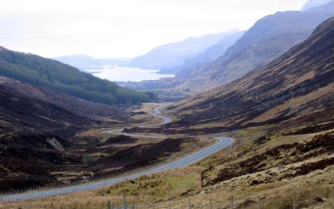
Glen Docherty and Loch Maree.
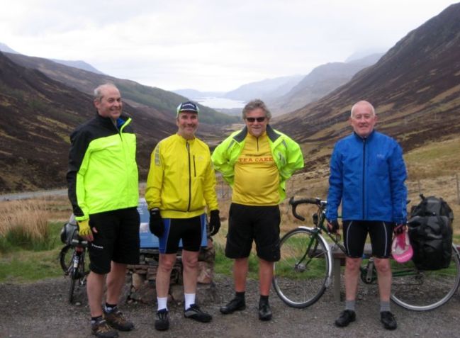
Whatever Happened to that Sunshine?
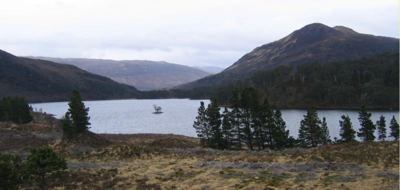
Loch Clair.

Moving on again we were still on an A road but it was now single track with passing places, something we'd get used to in the following days. We climbed gently past Loch Clair and headed down Glen Torridon where the massive mountain Liatach was obscured by cloud on our right hand side. The scenery here was spectacular with water cascading down the mountain sides and we heard the call of cuckoos echoing around the glen.

Heading into Glen Torridon.


Willie had texted ahead to his friends Jane and Andy from Portsmouth who were renting a cottage in the grounds of Torridon House and they were waiting for us when we arrived. Willie gave Jane her instructions to get the kettle on while we took a short ride along the north side of Upper Loch Torridon. Following a stiff climb we dropped back down to the cottage were Jane provided us with some very welcome tea and cake - a big thanks to Jane for her kindness.

Upper Loch Torridon.
To end our long day in the saddle we now rode the mile or so to our accommodation for the night at the Torridon Inn, which proved to be first class. After a rejuvenating shower we headed down to the bar for our evening meal. Jane and Andy joined us for a few drinks on what was their last night in Torridon before returning home in the morning. Glad to say the beer was from the cask including Hebridean Gold and Red Cuillin.

Relaxing in the Torridon Inn with Jane and Andy.
Day 3 - Sat 11 May - Torridon to Lochcarron - 49 miles


David presented us each with a personalised stainless steel Eurohike mug which he'd engraved with the tour details and our individual names - these would be used several times during the tour.

Torridon Inn.
It was raining first thing in the morning and after breakfast we chatted to some serious mountain bikers from Edinburgh. As they had a 4 x 4 they had a lot of kit in reserve and were cleaning their bikes and making adjustments before their ride.

Burn behind the Inn.

Outside Our Room.
Today we were heading for Lochcarron via the Applecross Peninsula and climbing to the high point of the tour at Bealach na Ba. Leaving the Torridon Inn we had a climb up the side of the loch but again the views were superb and we stopped frequently to admire the vista and take photographs. It was to be a day of challenging ups and downs.

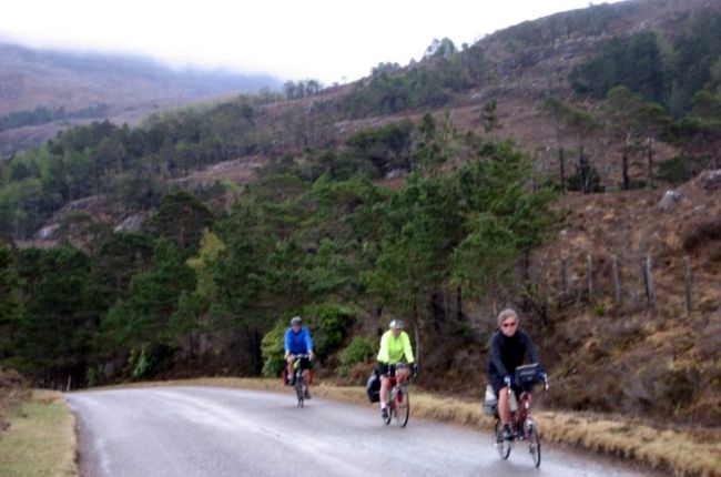
First Climb of the Day Leaving Torridon.

Upper Loch Torridon.


Loch Shieldaig.

Shieldaig.
We continued along Loch Torridon to Shieldaig where we stopped for refreshment at a tiny tin tearoom constructed of corrugated iron. There was a large private motor yacht moored in the loch and the lady running the tearoom informed us of all the comings and goings of the numerous crew members.

Shieldaig Cafe.

Looking Back Over Loch Shieldaig.

A Loch Shieldaig Family.
Leaving Shieldaig we headed around the Applecross Peninsula on a very up and down route with several steep climbs and fast drops. This spectacular road was opened as recently as 1975 before which the north of the peninsula had no vehicular access and the whole peninsula was regularly cut off in the winter.

The Final View Over Loch Shieldaig.
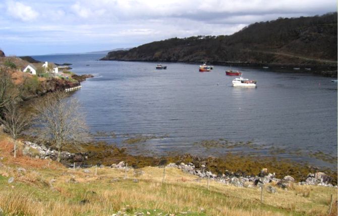
Ardeslaig.


Yet Another Hill!

Looking Back Over Ardeslaig and Loch Shieldaig to Upper Loch Torridon.


...and the Road Still Goes Up!

The Locals Come Out to Greet Us at Cuaig!
The views were stunning as we looked across to Skye and in the distance we could just distinguish the outlines of the Outer Hebrides. The weather had been good but as we reached Applecross village it started to rain and as it got heavier we took shelter in the Applecross Inn for a pleasant lunch washed down with a beer or two. This was essential sustenance for the big climb yet to come.

Viewing the Isles of Raasay and Skye.


Steeling ourselves for Bealach na Ba in the Applecross Inn.
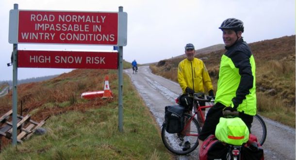
Can't See What All the Fuss is About!
We now faced the challenge of climbing to Bealach na Ba (Pass of the Cattle), the highest unbroken ascent of any road in the UK going from sea level up to 2,053 ft. It was still raining as we started the climb, but after half an hour or so we were above the clouds and in the dry. Like many of the roads we travelled on this tour the road to the top was single track, but the motorists were good at pulling in and patiently waiting for us to struggle past. I had only one problem with one fool coming down who did not give way!
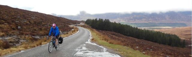

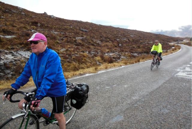


That's Quite a Descent - If Only We Were Going That Way!


Not Out of Breath, Just Pausing to Take in the View?
David pressed on and I could just see him as a yellow speck ahead in the distance, but I caught up with him near the top where he had found a suitable spot for a brew up - what a good man carrying a stove and pot to provide us with tea. Sadly, I had been unable to ride all the way as I had a mishap and fell on my side on a steep hairpin bend and so walked the final short stretch to where David waited. We had a magnificent view back down the hill and could see Willie and Greg climbing their way up to join us. Greg provided the tea bags and powdered milk and the mugs presented that morning by David were put to use for the first time for a very welcome hot tea.




Brew Up in Progress...


Once more refreshed, we proceeded the few hundred yards to the top of the pass and stopped at the view point from where we had a vista of the Cuillins in the south of Skye - one mountain looked like a pyramid!


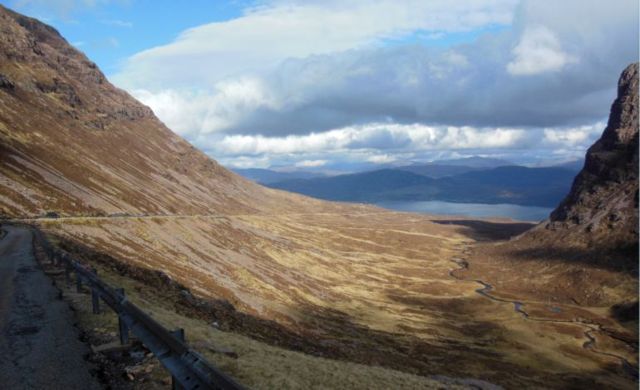
We started on the drop down the steeper east side of the Bealach, but soon stopped to admire the view to Loch Kishorn over the switchbacks of the road ahead. I went down first and it was heart in mouth time on the very fast descent, requiring me to be constantly on the brakes and concentrating on the road so that I did not have much opportunity to admire the views. I passed a couple of deer near the bottom of the hill where David soon joined me, but we seemed to be waiting a long time for Greg and Willie. I was fearing a mishap but they turned up and Greg informed us he had stopped as he could smell burning rubber!


The Descent to Loch Kishorn.



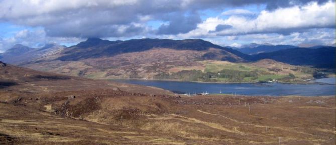
Looking across Loch Kishorn to Plockton.



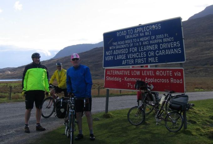
Been There, Done That!

We then pressed on to Lochcarron and the Rockvilla Guest House - an excellent establishment as they also provided our evening meal and some decent bottled beer. After all the climbing during the day we slept well.
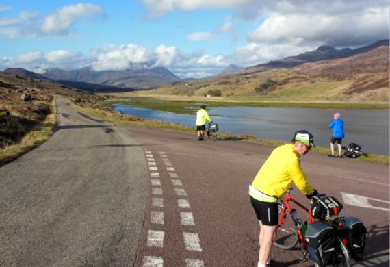
Back onto the Main Road at Tornapress!

Loch Kishorn and Ben Shieldaig.
Day 4 - Sun 12 May - Lochcarron to Sligachan - 51 miles


The Loch from Outside our Digs
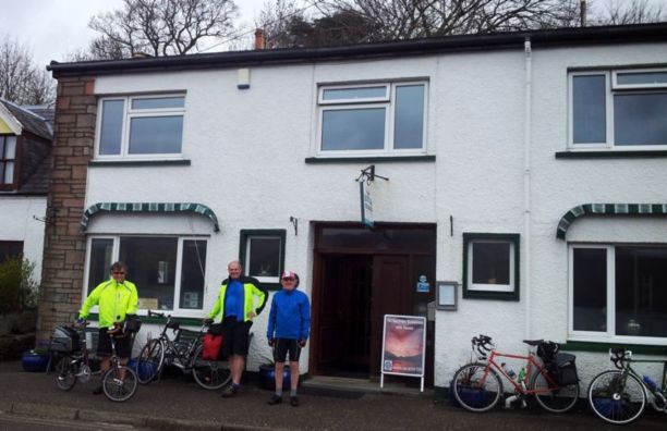
Ready to Go!
It was overcast as we started the journey around Loch Carron on our way to Skye. After rounding the head of the loch we were confronted by a short but steep (18%) climb from the lochside, which I had to walk though the others managed it. The payback was the magnificent views back across the loch to Lochcarron. There were numerous waterfalls cascading off the hillsides as we headed for Plockton.

Views across to Lochcarron.
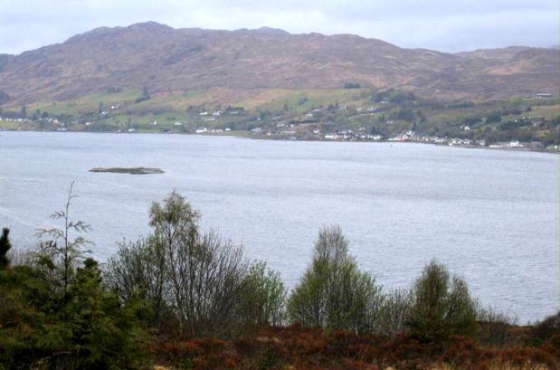


Attadale.


Above Stromeferry.


Across to Ardaneaskan.


Along the Loch to Plockton.


A Mossy Bank.


Across to Ardaneaskan again.
Plockton is famous for it's palm trees which grow here thanks to the influence of the Gulf Stream and is also where TV (that's television not transvestite!) policeman Hamish MacBeth was based. We stopped for tea and coffee followed by a wander around the picturesque village. Before moving on we felt it necessary to have some beer in the pub made famous by the TV series.

Plockton.


Duncraig Castle.


Duirinish.
Leaving Plockton the weather deteriorates as we head for Kyle of Lochalsh and the Skye Bridge. Crossing the bridge we are battered by strong winds and driving rain which mean that we have to keep our eyes on the cycle path ahead and concentrate on not getting blown off course. By the time we reached Broadford the rain had stopped and having had no lunch, we stopped at a pub for some beer and cheesy chips.

Near Luib.


Kinloch Ainort.

At Kinloch Ainort we turned off the main road to take the longer way round the peninsula on the fairly rough but quiet coast road with no passing cars. As we went we had views across to the Isles of Scalpay and Raasay and up the coast to Ben Tianavaig.

Moll.

Isle of Raasay.

Ben Tianavaig.


Scalpay.

Ben Tianavaig and Raasay.
Still struggling into a strong headwind we finally arrived at our destination, the Sligachan Hotel at the foot of the Cuillin Hills with beautiful views of the snow speckled mountains. We had booked in here for two nights so that next day could be spent exploring the island on our bikes.

The Cuillins from Sligachan.

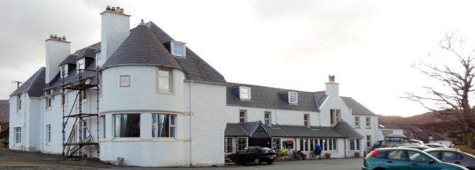
The Sligachan Hotel.
After a reviving shower we headed to the pub adjoining the hotel for dinner, pausing only long enough to take in the fine views of the sun setting on the Cuillins. David's smart phone told us that it was snowing heavily outside, which it was not, but next morning we did awaken to a dusting of snow on the hills.

Sunset on the Cuillins.


Day 5 - Mon 13 May - Isle of Skye Circuit - 38 miles


We woke to a pleasant morning and after breakfast headed for Portree the island capital. On the way Willie spotted a car someway ahead spinning off the road. When we passed the car it was stuck on the top of a ditch but the driver was fine. There was no way we could have pushed the car back onto the road.
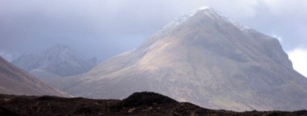
The Overnight Snow on the Cuillins.

Reaching the Head of Glen Varragill.
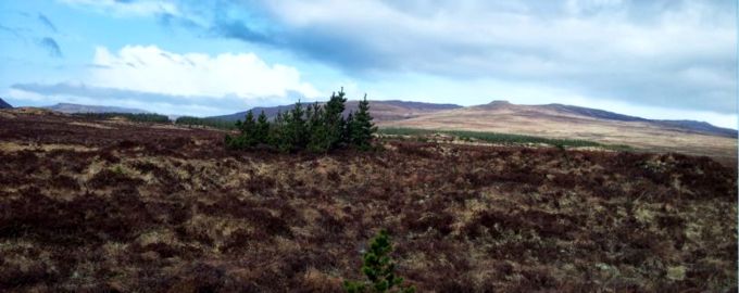

Down Glen Varragill to Portree and the Storr.
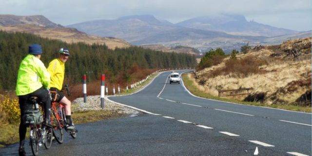
There was a great drop down Glen Varragill into Portree and behind the town we could see the distinctive pinnacle of the Old Man of Storr. We stopped for tea, coffee and very nice cakes in a café on the main square and followed this with a look around the harbour. A small cruise ship the Hebridean Princess was moored off shore and we would encounter it again later on our journey.

Portree Harbour.


As we headed to the west coast via the Struan Road we encountered a very strong headwind requiring us to pedal even when going downhill. The ride down to Bracadale was a temporary relief before continuing around Loch Harport to Carbost and the very welcome Carbost Inn where we had a late lunch, having not reached the village until nearly 3pm. We had hoped to visit the adjacent Talisker Distillery but the final tour of the day was already fully booked.
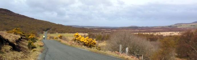
The Struan Road.


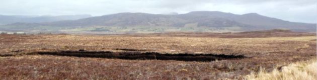
Peat Workings.
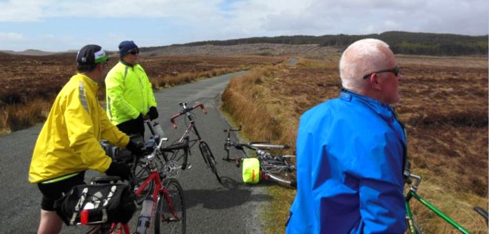

Sheltering from the Wind.
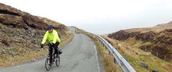
The Laggard Catches Up.
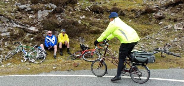


The Road Down to Bracadale.

After the hard ride we'd had so far it was a relief to have the wind behind us for the fairly short ride back to the hotel. We discovered a lounge in the hotel which had large windows giving a good view of the Cuillins as we relaxed with a pre-dinner drink.
Day 6 - Tues 14 May - Sligachan to Lochailort - 55 miles

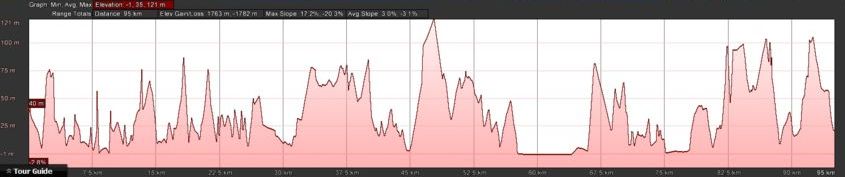
I woke up to the sound of a cuckoo outside. After breakfast I suffered my only mechanical problem of the tour, as I was pumping up my rear tyre the valve broke. Fortunately the tyre did not deflate so I resolved to change it when we reached today's destination, the Lochailort Inn.

Final Views of the Cuillins from Sligachan.


We travelled back round the uneven coast road to Kinloch Ainort and on the way encountered hail, strong winds and sunshine.


Across Loch Ainort to Luib.


Return to Kinloch Ainort.

After retracing our previous route through Broadford we turned south towards the Sleat Peninsula and our ferry from Armadale. Fortunately Willie recalled a previously used old road which gave us several very pleasing traffic free miles on a good surface through the peat bog.

The Old A851.


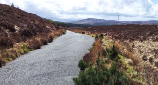
Following a few more miles on the main road we turned off for the quaint little fishing port of Isle Ornsay and lunch in the hotel. From here it was an 8 mile spin down the quiet main road to Armadale and the 2.40 ferry for Mallaig.

Isle Ornsay.


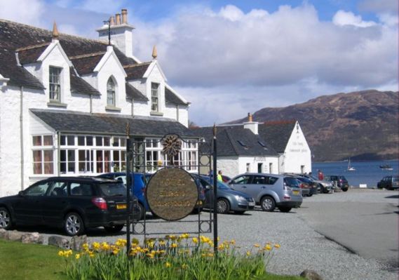
The Isle Ornsay Hotel.
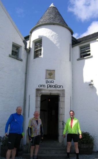
Anorther Bar We have to Sample.


Across the Sound of Sleat to Knoydart.
Back on the mainland, it was overcast as we left Mallaig and skirted Loch Morar - Nessie's cousin Morag was elusive as ever.

A Hydro Scheme on the River Morar.
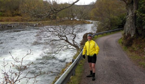

Continuing down the coast we passed the silver sand beaches for which this area is noted - the beaches looked good but I am sure the sea was not warm. We found a pub in Arisaig where we stopped for a pot of tea - for once we gave the beer a miss.

The Silver Sands at Portnaluchaig.


The main road on to Lochailort was the usual up and down but it looked fairly new and had a cycle path alongside for most of the way.

Good Cycle Lane near Polnish.
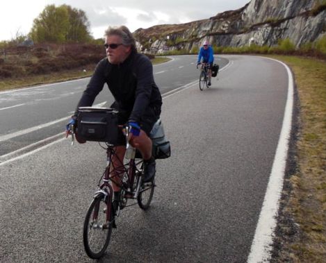

Reaching our hotel two cyclists were leaving and as one of them was wearing a Catford jersey we had a brief chat. They had heavy loads on their bikes as they were camping and one of them was meeting with the Croydon Mountaineering Club later in the week.
I changed my inner tube before going to my room. I had a bit of a struggle getting the tyre on and was unsure if tube was on properly. The bar had no cask beer but they did have some good bottled to wash down our dinner.
Day 7 - Wed 15 May - Lochailort to Tobermory - 42 miles


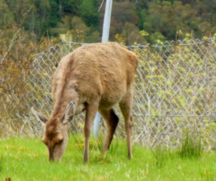
After breakfast we collected our bikes from the shed and there were 3 deer munching grass on the washing green. I had a short ride round the car park to test my tyre before we started our journey and thankfully it was fine.
The ride today would take us through Moidart and Ardnamurchan, a very quiet area with hardly any villages but fantastic scenery. We cycled down Loch Ailort to Glenuig and on up the glen before dropping back down to Loch Moidaart. Near the head of the loch were the Seven Men of Moidart, a row of beech trees planted to commemorate the seven men who accompanied the Young Pretender (or Bonnie Prince Charlie) on his voyage from France to land near here in 1745 and go on to Glenfinnan where he raised his standard as a prelude to the Jacobite uprising.

Glen Uig.

Loch Moidart.


The Seven Men of Moidart.

Beyond Loch Moidart we passed three cairns which Greg informed us were dedicated to his namesake a Captain Robertson. We crossed Shiel Bridge at the western end of Loch Shiel and shortly afterwards arrived in Ardshealach where there was a tearoom which was closed, and also a shop, post office and hotel. As it was now raining lightly we decided to have tea and cake at the hotel. The lady serving us informed us that it had been so dry recently that people were able to walk across Loch Shiel. There was a large pig in a sty at the back of the hotel and as we were leaving I went to have a look at him, but as the decking was wet I managed to slip and land on my backside though no damage was done other than to my pride.

Captain Robertson's Cairn.

Shiel Bridge.
It was only a couple of miles further to reach our planned stop at Salen where we had a couple of pints sitting in a new conservatory at the front of the hotel, whilst a couple of workmen were applying finishing touches to the job. We were now on the Ardnamuchan Peninsula the most westerly point on the British mainland. The vistas across and along Loch Sunart were stunning and we stopped frequently to take in and photograph the views. It is an exceptionally beautiful and remote area.

Relaxing at Salen.

Loch Sunart.

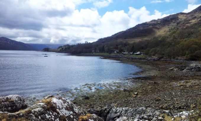
Camas Inas near Laga.


Glenborrodale Castle.

Loch Sunart near Glenmore.


Ardslignish Viewpoint.


Maclean's Nose.


The Next Climb Around Ben Hiant.

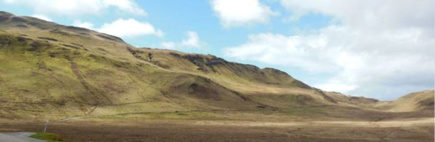
Ben Hiant.


Over Kilmory to Eigg.
We had a ferry to catch at Kilchoan, requiring a mad dash over the last couple of miles - Willie was a wee bit behind but David spoke to the crewman and he obligingly held up the ferry for the arrival of our leader.

Just in Time for the Ferry at Kilchoan.


The crossing was fine, we got a good view of Tobermory as we headed for the slipway and saw the Hebridean Princess moored in the bay. Out guest house was on the harbour front so we only had a very short ride. We were able to park our bikes in a storage room and after having our showers we set off for a quick stroll around the harbour before dinner. Later we met another of Willie's friends Donald for a few beers in a harbour front pub. Donald has lived in Tobermory for sometime and supports his family by diving for scallops and surveying boats.

Tobermory.

Day 8 - Thurs 16 May - Boat Trip to Lunga and Staffa
Our B & B, the Harbour Guest House, had a large window at the end of the dining room which looked onto a small garden with bird feeders and as we were having breakfast we could watch numerous small birds flitting to and fro - more entertaining than television.
This was our planned rest day and Willie had booked us onto a boat trip to the islands of Lunga and Staffa. It was raining quite heavyily as we acquired our lunch supplies before joining the boat but one of the highlights of the tour for me was my first sight of an otter in the wild swimming around the harbour. The boat set off and crossed to Kilchoan to pick up more passengers before heading around the north of Mull for the Treshnish Isles. The rain soon stopped and the fine weatherfor the rest of the day allowed us to enjoy the views.


Tobermory Distilery.

Greg Models the Latest Fashion in Rainware.

Spot the Otter!

All Aboard!

Seal.

The Treshnish Isles.
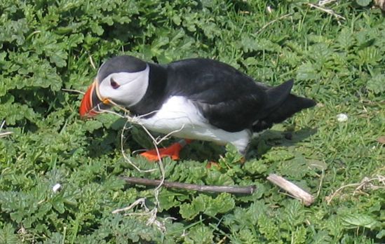
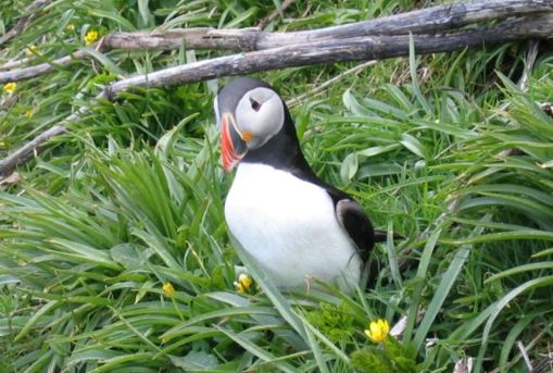
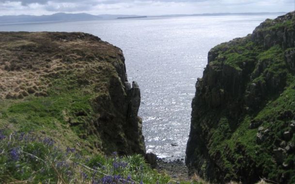
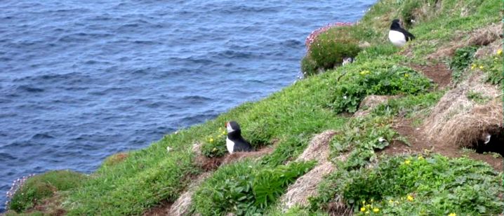
There was no pier on Lunga so the boatman had to manoeuvre a floating walkway from the boat to the rocky shore. We had about two hours on the island to view the multitudes of seabirds nesting on the cliffs and bobbing around on the water. We were able to get close to puffins as they popped in and out of their cliff top burrows carrying nesting materials. Further along the cliffs were a mass of guillemots. We also spotted a number of the feral black rabbits which endure from when the island was populated and the ruins of former homes were seen as well.

Preparing to go Ashore on Lunga.


Oor Boat!


Puffin - If you don't like them scroll down quick!


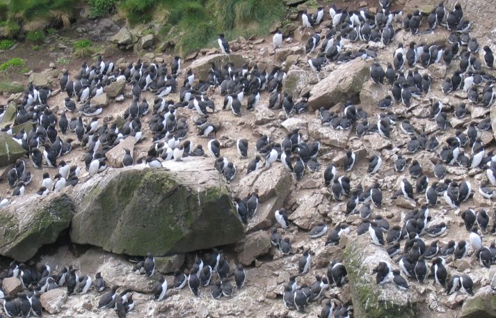
Guillemots.

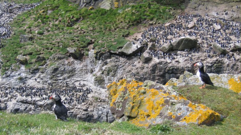
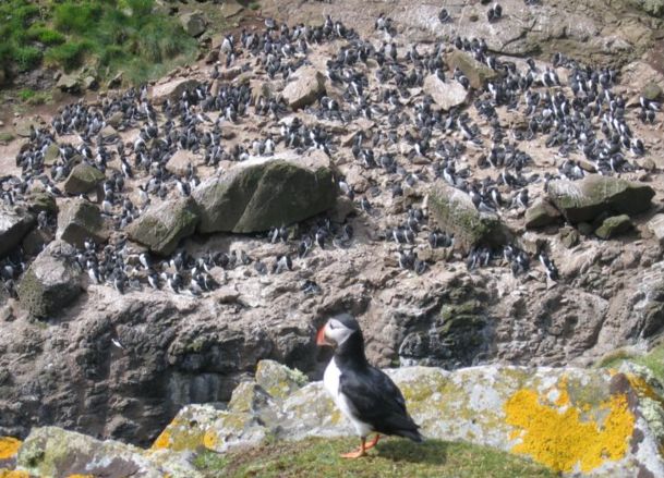
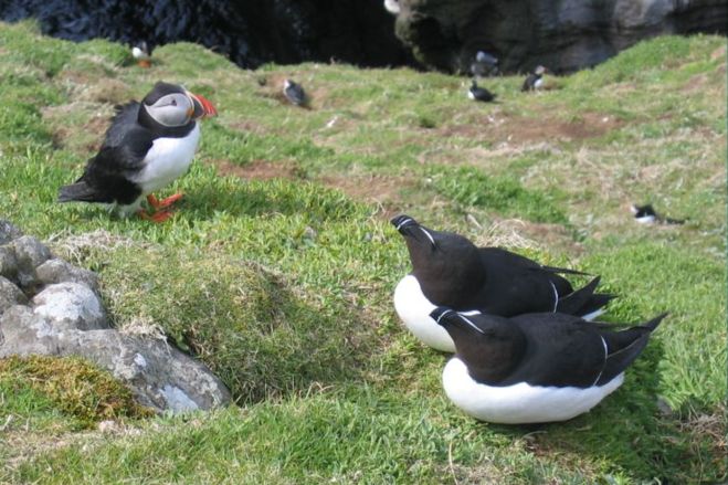
Puffin and Razorbills.
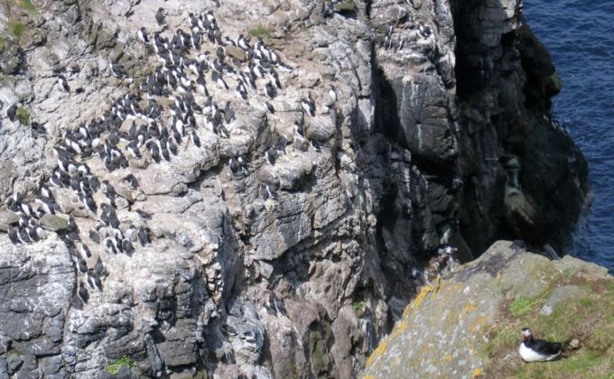
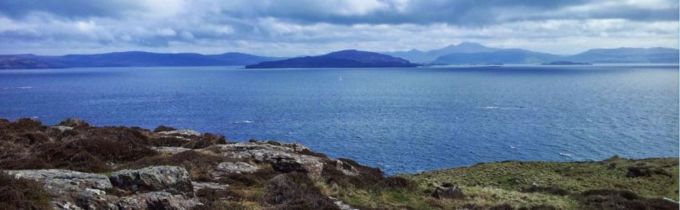
Back Toward Mull.
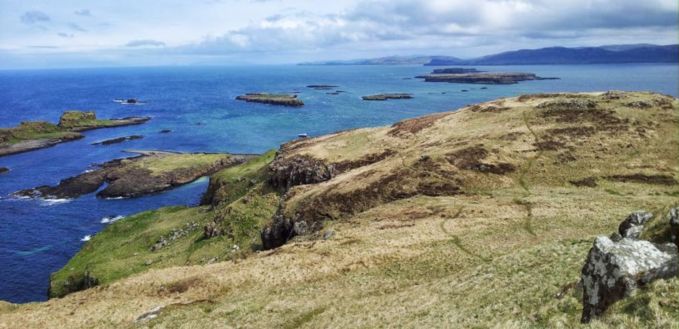
We rejoined the boat for the short trip to Staffa passing the entrance to Fingal's Cave before landing on a small pier. The island is noted for it's mostly hexagonal basalt columns, formed by the slow cooling of volcanic lava. These are similar to the better known but inferior formations found at Giant's Causeway on the north coast of Ireland. Here not all the columns are perpendicular, but some are contorted into fantastical curves.

Staffa.


Fingal's Cave.


Contorted Basalt Columns.

We walked along the basalt causeway, complete with handrail to the entrance of Fingal's Cave and proceeded inside where the columns have been eroded by the sea to leave an almost Gothic like formation.

Inside Fingal's Cave.


We climbed to the top of the island and enjoyed the views of surrounding islands including Coll, Tiree and Mull.


On the way back to Tobermory the boat slowed to allow us to view seals swimming between some the smaller rocky Treshnish Isles.

Shags and Oyster Catcher.

Tobermory/Kilchoan Ferry.
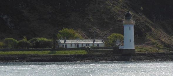

Return to Tobermory.


Back in Tobermory with the sun shining, in contrast to when we left in the morning, we had a pleasant stroll around the harbour.


Beware the Ghostly Hand of Old Tobermory - Follow if You Dare!!!
In the evening we had a bit of a pub crawl as we visited the three pubs on the harbour front.
Day 9 - Fri 17 May - Tobermory to Corran - 59 miles


The morning was bright and sunny and Tobermory looked good as we started with a sharp climb from the harbour. The road was quiet as we headed up and over to Dervaig passing a number of scenic lochs on the way. We stopped at a viewpoint overlooking Dervaig to admire the panorama over the village to the hills and sea beyond. Following the fast drop into the village we turned onto an even quieter road for the climb up Glen Bellart and then down Glen Aros. On the way we spotted a buzzard, though surprisingly we did not see many raptors during the trip.

Loch Peallach.

Loch Meadhoin.


Loch an Torr.


Dervaig.


Back on the coast we stopped at Salen (a different one from day 7) for tea and cake, which we enjoyed sat outside in the sunshine. From here it was another nine miles to the ferry at Fishnish and we had to push along to ensure we arrived on time. As we sailed across the Sound of Mull to Lochaline, we once more spotted the Hebridean Princess heading through the sound. On disembarking at Lochaline we found a pub where we had our lunch break.
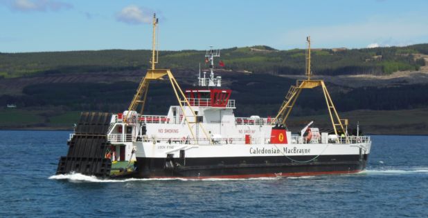
Fishnish/Lochaline Ferry.

Hebridean Princess.

Sound of Mull.

Lochaline.
We were now on the Morvern Peninsula another very quiet, remote and beautiful area. Heading north we initially followed Loch Aline and the River Aline before starting on the climb up Gleann Geal where we were exposed to a bit of a head wind. Along the roadside were iron mile posts, showing the distance to Corran on one side and Lochaline on the other. Over the head of the glen we dropped down towards Glen Dubh, where David had found a sheltered spot to set up his stove for a brew and we all enjoyed a cup of tea.

Gleann Geal.


Gleann Dubh.


David Gets the Brew Going.

We turned off the near deserted A road for an even quieter B road to continue our descent past Loch Uisge and a small herd of red deer to Kingairloch and Loch Linnhe. As we headed up the west side of Loch Linnhe and we could see the snow capped peak of Ben Nevis ahead of us. Near Kilmalieu we spotted the local herd of feral goats scattered around the hillside above us.

The Descent from Loch Uisge.

Kingairloch.

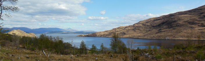
Loch a' Choire.

Over Loch a' Choire and Loch Linnhe to Ben Bhreac.

Over the Mouth of Glengalmadale River and Loch Linnhe to Fraochaidh.

Chapel at Camasnacroise.

Along Loch Linnhe to Ben Nevis.


Ben Nevis.

Oyster Catcher.


Getting Closer!

Lochan Doire a' Bhraghaid

Our destination was the Ardgour Inn adjoining the Corran Ferry where we were able to park the bikes in the boiler house. After dinner we spent a relaxing evening in the bar - sadly no cask beer but we had 'Sklept Lug' an excellent bottled beer.
Day 10 - Sat 18 May - Corran to Fort Augustus - 65 miles


We had to battle a strong headwind as we set off up the quiet west side of Loch Linnhe. Luckily we hadn't planned to catch the passenger ferry at Camusnagaul, because we would have missed it, but instead we carried on around Loch Eil. On the north side of the loch we headed east towards Corpach and although we were on a trunk road the traffic was fairly light. We turned off alongside the Caledonian Canal at Banavie and stopped at Neptune's Staircase, the eight locks which raise the canal from sea level. There was a hotel next to the locks where we had much needed coffee, tea and cake.

Setting Off Up Loch Linnhe.
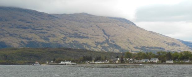
Back Down the Loch to Corran.

Caledonian Canal.

Neptune's Staircase.
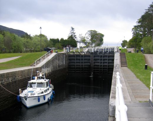
We continued northwards along the towpath on the eastern side of the canal, heading for a planned lunch break at Spean Bridge. The wind was gusting strongly in our faces at the start but died down a bit as we cycled along. We passed a swing bridge in the process of being closed, though the canal was quiet and we only saw one boat on the move. We turned away from the canal at Gairlochy to follow the River Spean towards Spean Bridge but came across the Old Pines Hotel and Restaurant pleasantly situated in the woods and decided that this was a good place to stop for lunch.


River Spean.


After lunch we retraced our route to the canal and continued on the road around the beginning of Loch Lochy. In addition to the wind, we now also had rain to contend with and this went on to be the most inclement day of our trip. The road soon ended and we rode up the western side of Loch Lochy on a track through Clunes and South Laggan Forests. We had the place to ourselves but the track was fairly stony in places.

Clunes Forest.

At the north end of the loch we rejoined the canal at Laggan Locks where we came upon the Eagle Barge, a floating pub and restaurant and a very welcome haven from the elements. Believe it or not we had tea and scones despite there being an excellent choice of cask ales available. We sat round the wood burner to warm up and dry our gear. The landlady was from Essex, we had a good chat and she told us that our onward path around Loch Oich would get a bit rough!

Approaching Laggan Locks.
We reluctantly dragged ourselves away from the the barge, back into the wind and rain and onto our bikes. The towpath soon ended with a path through woods where we had to cross the main road but a considerate motorist stopped to let us go. After a short distance we joined a disused railway track, the former Invergarry to Fort Augustus line which closed in 1946. After a further short stretch the path left the railway bed and we were onto the rough section we'd been warned about and it certainly lived up to its reputation as it was crisscrossed by exposed tree roots. Unfortunately Willie now suffered the only puncture of the tour as his front wheel hit one of the roots and he came close to sliding over the bank and into Loch Oich!
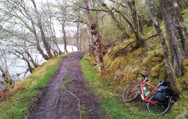
Path Beside Loch Oich.
As time was getting on Willie urged us to go on ahead while he fixed the puncture, so Greg and myself carried on as an advance party for Fort Augustus. We walked the bikes over the remainder of the very rough section and met three mountain bikers coming in the opposite direction who also found it necessary to walk their bikes. We could soon remount and pedalled on through the wind and rain to rejoin the towpath at the end of the loch, from where it ran between the canal and River Oich to Fort Augustus. Our landlady for the night was glad to see us as she was heading out for the evening. Willie and David soon turned up and after showering we headed round the corner to the Lock Inn for dinner and beer - or more accurately beer, dinner and beer...
Day 11 - Sun 19 May - Fort Augustus to Inverness - 42 miles

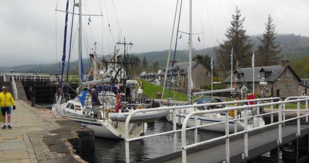
Before setting off for Inverness we watched boats negotiate the locks which raise them up from Loch Ness into the canal. The swing bridge below the locks also opened to allow the boats passage, but to the detriment of the waiting cars. Since the canal was originally designed to accommodate sailing ships all its road and rail crossings are by swing bridge.
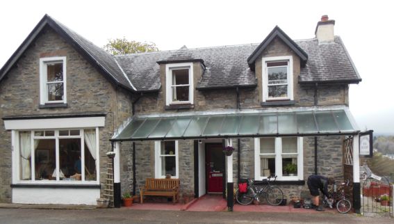
Removing Previous Day's Gunge from Bike.

Fort Augustus Locks.


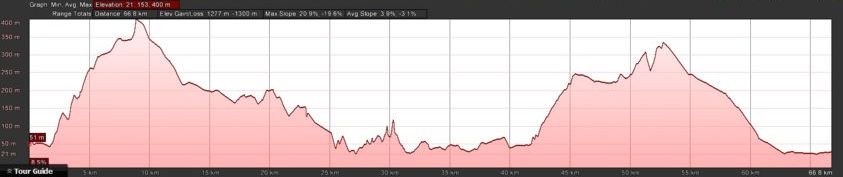
Leaving Fort Augustus we headed up the quieter eastern side of Loch Ness and were soon climbing a long steep hill which took us up 1200 ft over 4 miles. There was not much of a view as we were in the clouds and visibility was so bad we stopped to switch on our lights.

Glen Doe Waterfall.

Views From the Clouds at Loch Tarff.


We had only travelled 9 miles or so when just before midday we reached the Whitebridge Hotel and so took the opportunity to stop for tea and coffee. Before we entered the hotel a lady cyclist arrived and it turned out she was the cook and had been out for a morning ride before starting her shift. Just beyond the hotel was the hump backed bridge from which it takes its name, built in 1732 to carry General Wade's Military Road over the River Fechlin.
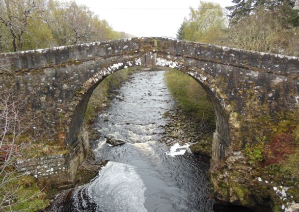
The White Bridge.


The View Upriver...

...and Downriver.
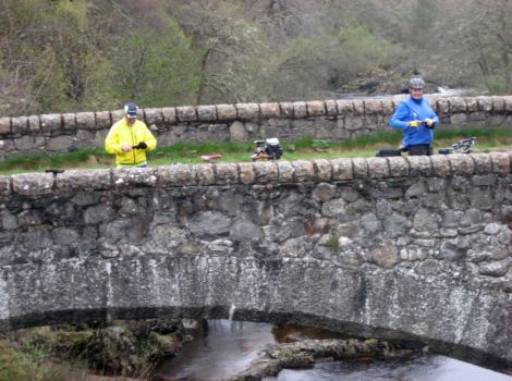
The Modern Bridge.
We descended back towards Loch Ness and stoped above the Falls of Foyers, a waterfall which powers a hydro scheme on the banks of the loch. Lack of time meant that we did not venture down into the gorge to see the Falls but we could hear the roar of the cascading water and the deep tree covered gorge was spectacular.

River Foyers Gorge.
Leaving Foyers we had a glorious descent along the side of the loch to Dores. Sadly, Nessie did not make an appearance so we had to content ourselves with some well earned beer at the Dores Inn. As we were only a short distance from Inverness we put in a loop to extend our journey. It was a sunny afternoon and we headed up the hills to the east of Dores. We passed a couple of lochs high in the hills and we stopped by the roadside for David to brew up our tea. It was nice sitting by the roadside having tea in the sunshine and waving to the handful of passing motorists.


Back over Loch Ness from Clune Wood.

Loch Ashie.

Loch Duntelchaig.


Loch a'Chlachain.

Loch Bunachton.


We then had a long drop into Inverness and guided by Greg's satnav we soon found our bed and breakfast in the city centre. As usual we headed to the pub for dinner and beer at the Blackfriars pub.
Day 12 - Mon 20 May - Black Isle Circuit - 55 miles


This was our last day apart from Willie who had to stay another night in Inverness so we were able to leave our bags in the B&B and head for the Black Isle. The weather was good as we again crossed the Kessock Bridge, but this time on the shared pedestrian and cycle path so that we did not hold up the traffic.
The Black Isle is a productive farming area with a few villages mainly near the coast. We pedaled along the centre of the Isle before turning north for a view across the Cromarty Firth where there were several oil rigs either waiting for repair or to be towed back out to the North Sea.

Near Killen.
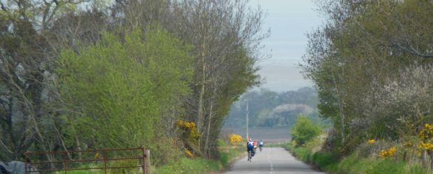

Oil Rigs in the Cromarty Firth.

After a nice drop to the coast we rode along the firth to Cromarty near the tip of the isle. We cycled past the harbour and around this very pleasant village with its picturesque old fisherman's cottages. It is also the birthplace the noted geologist and writer Hugh Miller. We stopped at a hotel near the harbour for our beer and entertainment was provided a collie running up and down the bar to retrieve his ball.

Cromarty Harbour.

Leaving Cromarty we headed back across the isle to Rosemarkie and on to Chanonry Point where we hoped to see the dophins at play, however there was only one around. I think the rest of them must have been with their school!
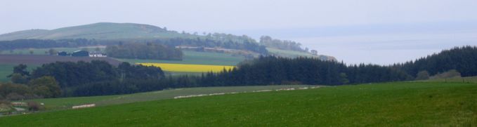
Near Eathie.
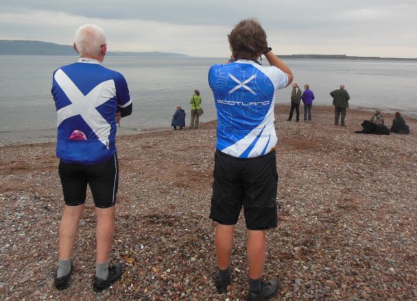
Looking for Dolphins at Chanonry Point, with Fort George in the Background.

Spotted!

We went on to Fortrose where I hoped to visit a pub which is advertised regularly in the London Drinker but it was closed for the afternoon. Instead we found the ruins of Fortrose Cathedral and had a walk around the grounds. Incredible that such a small town should have had a cathedral.

Fortrose Cathedral.


It started to rain lightly as we set off for Inverness and we cycled through the pleasant seaside village of Avoch followed by Munlochy and the now familiar Kessock Bridge on our return.
We were able to shower at the B&B before we headed off to a Tapas Bar for some dinner and finished off at the Castle View with a couple of beers. We left Willie and rode the short distance to Inverness Station to board the sleeper. When we loaded our bikes into the guard's van one half was taken up with polystyrene boxes of scallops and langoustines heading for London. There was only room for the three bikes so this is why Willie had to wait until the next day to return.
The three of us sat in the buffet lounge for a couple of drinks as we headed south. After a good night's sleep we woke up around Stevenage and were soon at Euston. Greg guided us through the back streets and we ended up going through Hyde Park on the way to Victoria. There were lots of cyclists around on their way to work and I thought some of them were a bit aggressive in their riding. Greg and I caught a train to Norbury as David headed to East Croydon.
Day 13 - Tues 21 May - Beauly and Glen Affric Circuit - 64 miles
Willie adds...
Having been abandoned by my friends, I loaded up the Moulton for the last time and crossed the River Ness and Caledonian Canal as I headed out of Inverness and continued west along the southern side of the Beauly Firth. The weather was fine but the road was a bit busier than what we'd become used to, though I was able to avoid some of the main road by taking a detour through Kirkhill.
I took another short detour into Beauly for a coffee break before continuing up the scenic valley of the River Beauly and passed a couple of hydroelectric schemes in the steep sided glen.

River Beauly near Crask of Aigas.

The valley broadened as I approached Struy where the river divides, and here I crossed the River Farrar and continued up Strathglass to Cannich where I found a pub for lunch.

River Farrar from Struy Bridge.

Waterfall in Strathglass.
It was only a short distance further along Strathglass before I started climbing up into Glen Affric and the river was soon lost in the trees beneath the road. Like many roads into remote highland glens there would be no option but to return by the same route and I was conscious that I had to allow plenty of time to get back to Inverness, but at the same time I'm always tempted to see just what might be around the next bend. Time was against me so despite the fine scenery and lack of traffic, I was soon forced to turn around and head back down to Strathglass.

Heading into Glen Affric.

Glen Affric Locals.


I now followed the very quiet minor road down the east side of Strathglass and soon repassed Cannich across the river. It was a great ride all the way down the glen and I seemed to have the whole road to myself.

Return down Strathglass past Cannich.

River Glass.

Struy.
I rejoined the main road to Inverness at Kiltarlity, but with the wind behind me I zipped along and hardly noticed the traffic. I had spotted the Clachnaharry Inn near the canal on the outskirts of Inverness in the morning and its displayed CAMRA awards had convinced me that this might be a good place for my evening meal before catching the sleeper. This proved to be true since it is a friendly old pub with fine ales and food and it was a wrench to drag myself away for the train.
Having stowed my bike with the shellfish in the guards van and my luggage in my berth, I headed to the buffet car for a nightcap. It was still daylight as the train left so I had a last chance to enjoy the highland scenery as I relaxed with a drink and tried not to think about the London traffic which I would have to face in the morning.
Postscript
Back to Pat for the last word...
This was the longest tour I have done in terms of time. We all had a great time and we all got on well, our accommodation at the various locations was excellent, we had quiet roads and glorious scenery. The weather was good and there were no midges around. I have to thank Willie for all the work he put in organising the route, accommodation and the sleepers. Thanks to David for the brew ups and to Greg for the tea bags, Satnav and maintaining the spreadsheet with our expenditure.